Featured Intelligence
Experience our flagship geospatial engines in action.

Live System
Seismicity Monitor Pro
Track global tectonic movements in real-time. This interactive dashboard fetches live earthquake feeds and visualizes active fault lines with pinpoint accuracy, delivering critical data without lag.
Explore System →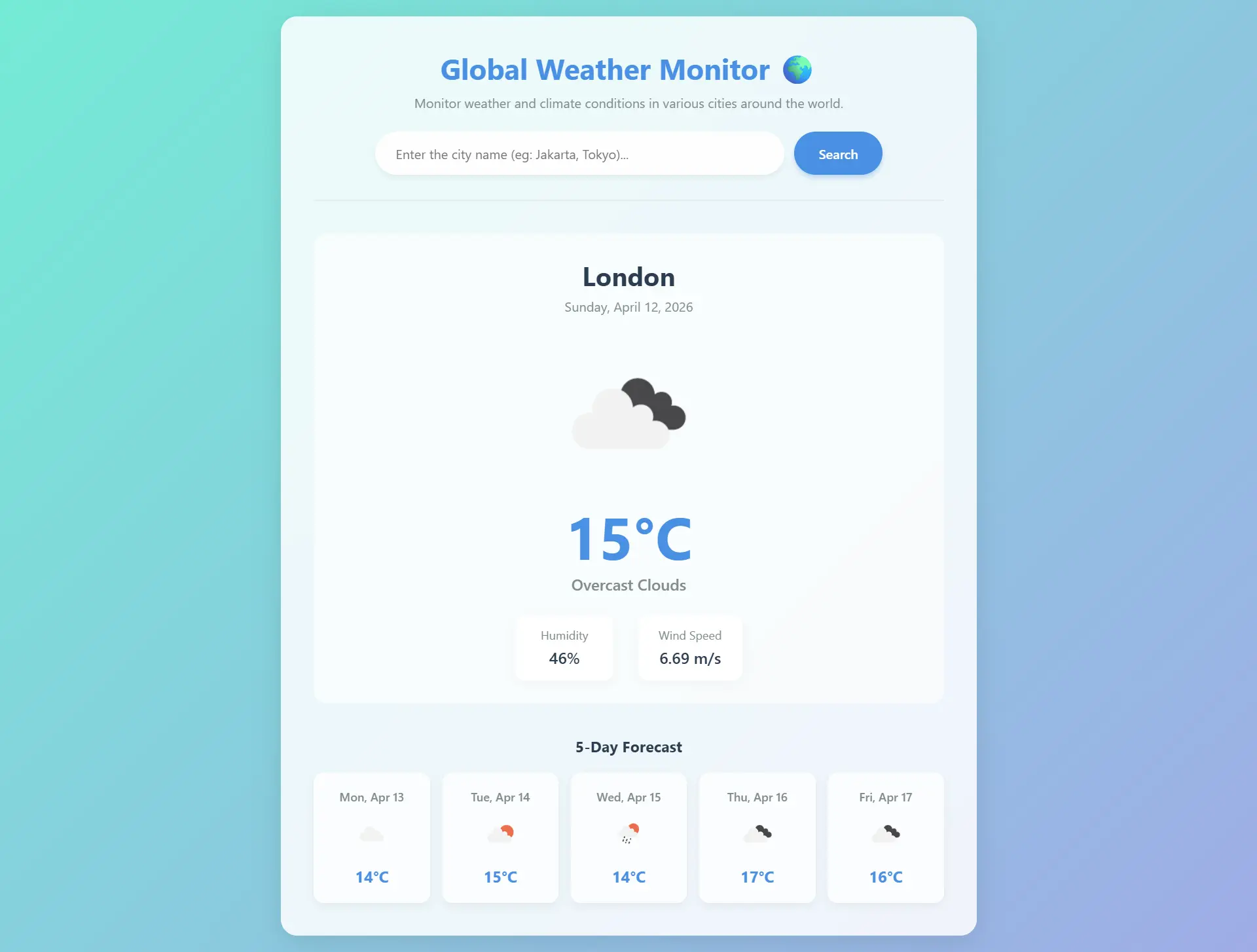
API Connected
Global Weather Engine
Monitor atmospheric conditions, wind patterns, and temperature anomalies instantly. Powered by OpenWeatherMap API integration for seamless and accurate meteorological analysis anywhere on Earth.
Explore System →